Aerial Renders and Drone Views That Sell Projects
Buyers of off-plan homes and investors in new developments share one problem: they cannot stand on the site and look around. A ground-level render shows one home. An aerial render shows the whole story: the street layout, the parks, the parking, the amenities, and how the development sits in its neighbourhood. That is why developers put aerial views on hoardings, brochure covers and launch pages. This guide explains the types of aerial renders, how they are made, what they cost in 2026, and how to brief one that sells.
An aerial render is not a drone photograph, though the best ones borrow the drone's viewpoint. It is a 3D image rendered from above the project, using the architect's model plus surrounding context: roads, neighbouring buildings, trees, water and terrain. Because it is built from the model, it can show a development months before construction starts, from angles no drone could legally fly.
Why Aerial Views Sell Developments
Ground-level renders sell a home. Aerial renders sell a place. A buyer choosing between two developments wants to know which plot is near the park, which homes face the road, where the school run goes, and whether the community feels green or concrete. One well-composed aerial answers all of that in seconds, while a page of text and a site plan leaves most buyers guessing.
For investors and planning committees, aerials do different work. Investors read density, phasing and amenity provision from a single image. Planning officers see massing, rooflines, setbacks and landscape buffers in context.
Aerials also compress the sales conversation. A sales agent can walk a buyer through the whole scheme on one image: your plot here, the park there, the clubhouse at the centre, the main road kept at the edge. That orientation builds confidence, and confident buyers reserve faster.
The Four Aerial View Types
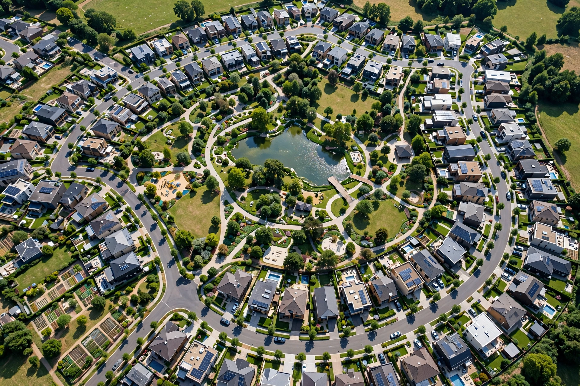
Not all aerials are the same, and picking the right type matters more than picking the right software. The top-down plan view looks straight down, like a map brought to life. It is the clearest way to show plot layouts, road networks and landscaping structure, and it works brilliantly in brochures beside a site plan. Its weakness is that buildings read as rooftops only, so it rarely carries emotional appeal on its own.
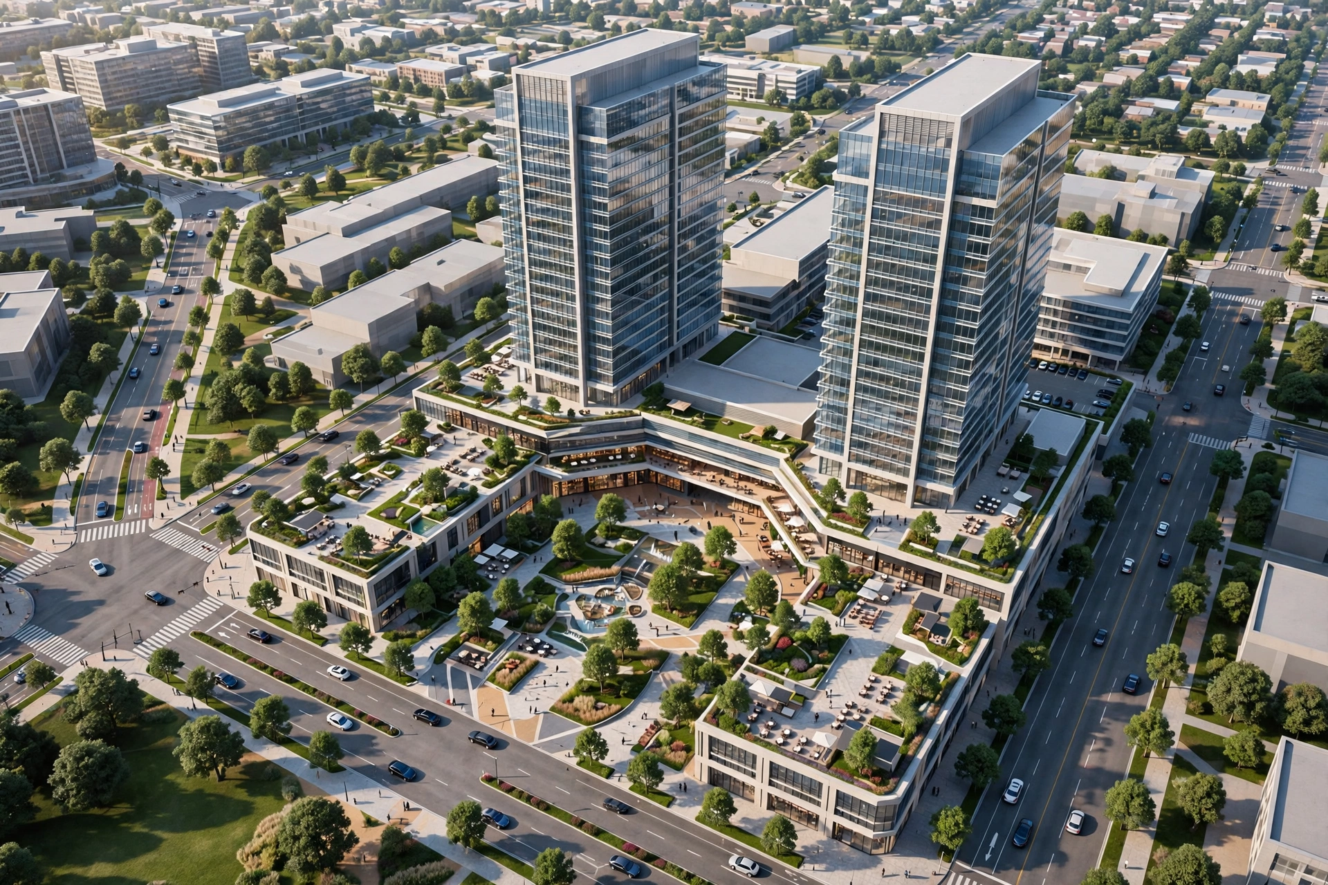
The oblique view, shot at roughly 45 degrees, is the workhorse of development marketing. It shows rooftops and facades together, so buyers see both the layout and the architecture. Most hoardings and website heroes use an oblique view, usually from the corner of the site where the sun lights the main facades. If you order only one aerial, order this one.
The high eye-level view sits just above roof height, around 15 to 30 metres up, and looks slightly down across the scheme. It feels closer to how a resident on a hill would see the project, and it is excellent for showing street scenes, courtyards and amenity spaces with a sense of human scale.
The drone-style orbit view mimics a drone circling the site at 40 to 80 metres. It suits large schemes, resorts and masterplans where the surroundings matter: coastline, golf course, city skyline. Used with a short animation, it becomes the flyover video that anchors a launch campaign.
How an Aerial Render Is Built
An aerial starts with the same 3D model as any other render, but the context work is much heavier, because the camera sees everything: every roof, road, tree, car park and neighbouring building within the frame. Studios build this context from site plans, survey data, satellite imagery and photographs of the surroundings.
Terrain and roads come first. Levels, slopes and retaining walls must be right, because an aerial exposes a wrong ground level instantly. Roads need markings, pavements, crossings and street lighting. Then the surrounding buildings are massed in simplified form, accurate in height and footprint but lower in detail than the hero buildings.
Landscaping carries the image. Trees are the single biggest realism factor in aerials: correct species shapes, varied heights, and shadows that anchor them to the ground. A scheme with flat green blobs for trees looks like a diagram. A scheme with believable tree canopies, hedges, lawns and water reads as a place people want to live.
Camera Height, Angle and Light
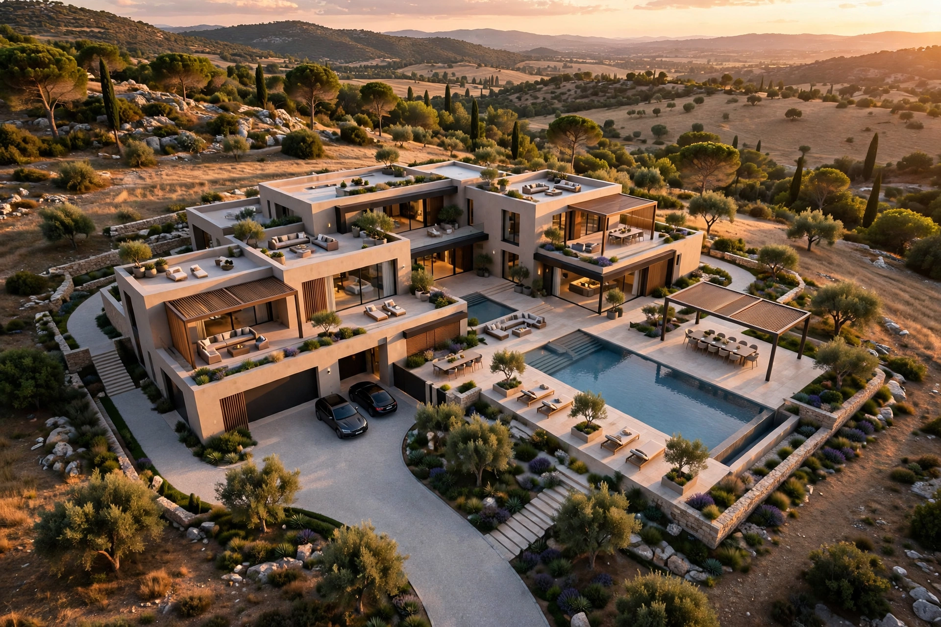
Height is the most consequential choice in an aerial. Too low and the image becomes a tall eye-level shot that hides the layout. Too high and buildings shrink into a map that loses all warmth. For a single residential scheme, 60 to 120 metres usually works. For a masterplan or resort, 150 to 300 metres gives the full picture.
Angle matters as much as height. A straight top-down view hides facades, so most marketing aerials tilt to 40 to 50 degrees. The sun should light the main facades and cast shadows toward the camera or to one side, never directly away, or the buildings look flat. Late morning or mid-afternoon sun usually gives the cleanest shadows, while golden hour light adds warmth but lengthens shadows that can hide landscaping. Keep the lens honest too: a focal length below 24mm equivalent bends straight roads and stretches corner buildings, so studios usually render aerials at 28 to 35mm equivalent.
What Aerial Renders Cost in 2026
Aerials cost more than ground-level views because of the context modelling. As a 2026 guide, a single residential scheme aerial from an established studio runs $600 to $1,200, while a large masterplan or resort aerial with full surroundings runs $1,200 to $2,500. A set of three aerials from the same model, for example top-down, oblique and high eye-level, typically costs 2 to 2.5 times a single view, not three times, because the context work is shared.
Turnaround is usually 5 to 7 working days for a first draft, longer than a standard exterior view, because context modelling and tree placement take time. Revisions also take longer, so approve the camera height, angle and context boundaries early, ideally from a clay preview, before the studio invests in full detail.
For launch budgeting, treat the oblique hero aerial as essential and the other views as supporting material. One strong aerial on the hoarding and brochure cover does more work than a gallery of ground-level shots that never show buyers where anything is.
Common Aerial Mistakes to Avoid
The most common mistake is dishonest context: shrinking neighbouring buildings, erasing a busy road, or painting empty land green. Buyers visit the site eventually, and planning officers certainly check. Honest context builds trust, and trust closes sales. If a neighbouring building is unattractive, show it in soft, simplified form rather than deleting it.
The second mistake is a treeless scheme. Developers sometimes ask for trees to be minimised so buildings stand out, but a development with no trees looks harsh and unfinished. Trees soften rooflines, hide car parks and make streets feel residential.
The third mistake is clutter: too many cars, people and labels fighting for attention. An aerial should read in three seconds: development here, park there, road at the edge. If the viewer has to hunt for the hero buildings, the image has failed.
How to Brief an Aerial Render
A strong brief names the view type, the camera direction, and the story the image must tell. Tell the studio which plots or buildings are the heroes, which amenities must be visible, and where the site boundary sits. Send the site plan, the landscape plan, survey levels if you have them, and photographs of the surroundings. Note anything that must not be hidden: a park, a waterfront, a transport link.
Also confirm the context radius: how far beyond the boundary the model extends. A tight radius keeps costs down but can make the scheme look isolated. For sales material, a radius that includes the nearest landmark or main road is usually the sweet spot.
For the fundamentals that make any exterior render convincing, read exterior rendering cost, how to make renders look realistic, and best camera angles for architectural renders. For dusk versions of the same hero view, see our twilight renders guide.
Frequently Asked Questions
What is the difference between an aerial render and a drone photo?
A drone photo shows a site as it is today. An aerial render shows a development before it is built, from angles a drone could not legally or safely fly, with full control over light, season and landscaping.
How much does an aerial render cost?
In 2026, a single residential scheme aerial typically costs $600 to $1,200, and a large masterplan aerial $1,200 to $2,500. A set of three views from the same model usually costs 2 to 2.5 times a single view, not three times.
How long does an aerial render take?
Expect 5 to 7 working days for a first draft, longer than an exterior view, because modelling the context and landscaping takes time. Approve the viewpoint from a clay preview to avoid late changes.
Do aerial renders need real site data?
Yes, for accuracy. Site plans, levels, landscape plans and photographs of the surroundings let the studio build honest context. Without them, roads, slopes and neighbouring buildings can only be guessed, and errors show clearly from above.
Can aerial renders be animated?
Yes. A drone-style flyover animation uses the same model and context, and is one of the most effective launch assets for large schemes. Animation costs more than stills, so use it for the hero campaign video and stills for print.
Are aerial renders accepted for planning applications?
They are widely used in planning submissions to show massing, layout and landscape in context, but requirements vary by authority. Check whether your council wants verified views or photomontages, which follow stricter accuracy rules than marketing aerials.
An aerial render is the one image that lets a buyer understand a whole development at a glance, and that understanding is what turns interest into reservations. If you are launching a scheme, start with one strong oblique aerial that shows the layout, the amenities and the neighbourhood honestly. Send us your site plan and drawings, tell us which view type fits your campaign, and we will come back with a fixed quote, usually within one working day.
Written by
Architecture Designing Team
3D Visualization Studio